The Street View Snowmobile
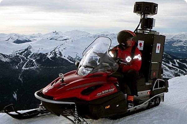
Arguably the most fun method for collecting Street View imagery, the Street View Snowmobile was developed as a sort of Street View Trike for wintery weather.

Google first used the Street View Snowmobile to map areas of Whistler during the run-up to the 2010 Winter Olympics in Vancouver.
The Street View Trekker
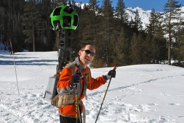
Google’s most recent addition to its map-everything arsenal is the Street View Trekker. Announced in June, it’s meant for areas where a car, trike, trolley or snowmobile just won’t do.

Google says, “There’s a whole wilderness out there that is only accessible by foot. Trekker solves that problem by enabling us to photograph beautiful places such as the Grand Canyon so anyone can explore them.”
Business Photos
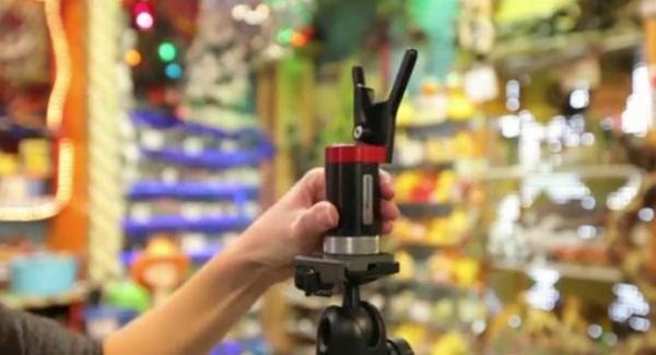
For capturing imagery inside participating businesses, Google uses a less intrusive setup involving a tripod-mounted camera capable of taking panoramic photos.

Google had to go lower-tech than usual to capture the panoramic imagery in Antarctica, so this is the same method that was used.
“This new imagery was collected with a lightweight tripod camera with a fisheye lens—equipment typically used to capture business interiors through the Business Photos program,” says Google. “We worked with this technology because of its portability, reliability and ease-of-use (our Street View trikes wouldn’t be much use in the snow).”
More Information
You can read more about the car, trike, trolley and snowmobile here; more about the Trekker here; more about how Google creates Street View images here; and more about the recently-captured panoramic imagery from Antarctica here.
All images via Google…

